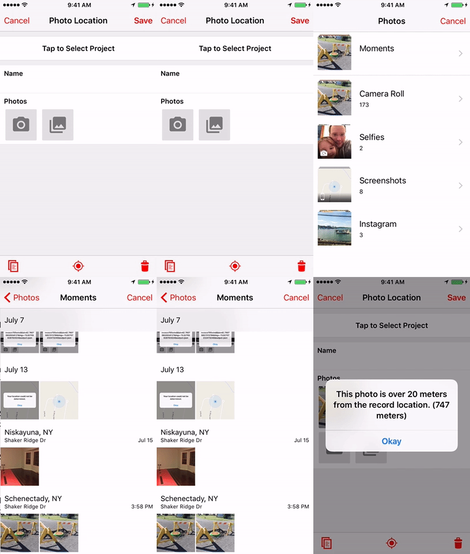
Compare photo location to record location
This example demonstrates how to compare the geotagged location of an attached photo with the location of the record to alert the user if there may be an issue. NOTE: The LATITUDE and LONGITUDE functions will only return values if a record's geometry type is set to Point, and there is a location set. Unless you have enabled Lines and Polygons for your app, the Point type will be the only available geometry type for records in the app.

// source: https://www.geodatasource.com/developers/javascript
function findDistance(lat1, lon1, lat2, lon2, unit) {
  var radlat1 = Math.PI * lat1 / 180;
  var radlat2 = Math.PI * lat2 / 180;
  var theta = lon1 - lon2;
  var radtheta = Math.PI * theta / 180;
  var dist = Math.sin(radlat1) * Math.sin(radlat2) + Math.cos(radlat1) * Math.cos(radlat2) * Math.cos(radtheta);
  dist = Math.acos(dist);
  dist = dist * 180 / Math.PI;
  dist = dist * 60 * 1.1515;
  if (unit == "K") {
    dist = dist * 1.609344;
  }
  if (unit == "N") {
    dist = dist * 0.8684;
  }
  return dist;
}

function validateDistance(event) {
  if (event.value.latitude && event.value.longitude) {
    var kilometers = findDistance(event.value.latitude, event.value.longitude, LATITUDE(), LONGITUDE(), 'K');
    var meters = Math.round(kilometers * 1000);
    if (meters > 20) {
      ALERT('This photo is over 20 meters from the record location. (' + meters + ' meters)');
    }
  }
}

ON('load-record', function(event) {
  // loop through the photo fields
  DATANAMES('PhotoField').forEach(function(dataName) {
    // listen for add-photo event
    ON('add-photo', dataName, validateDistance);
  });
});
Updated about 1 year ago